Digitalise Farming Activity
Challenge
Economic activity in Bentarum is low. Farmers, if they sell anything at all, rely on collectors who visit farms and buy only what is of interest. Prices offered are low. Farmers seek greater market access but there is no mechanism for buyers to place orders, and crops aren’t planted according to demand.
Solution
Digitalise farming activity, creating spatial maps that delineate every farming area and build crop catalogues. This database of farming activity will facilitate more structured relationships between farmers and buyers and allow for better planning.
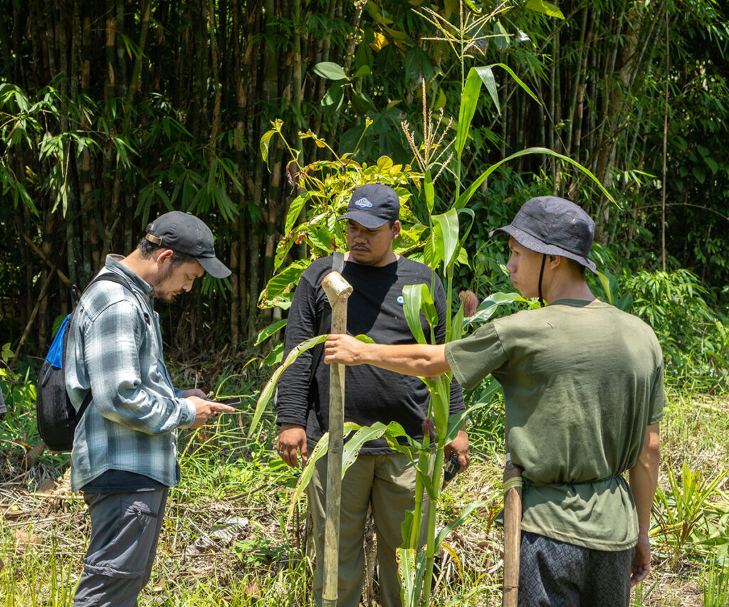
Progress
We have mapped the distribution of farms throughout Bentarum using high-resolution satellite imagery coupled with VIIRS Fire Alerts data to monitor the burning area of new farms. This database is gradually updated throughout the year.
In one sub-village (Nanga Ngaung) in the village of Sungai Ajung, we are also trialling more detailed commodity mapping. There are 16 food crop farming plots in Nanga Ngaung, where rice, corn, cocoa, bananas are being grown. Additionally, we conducted soil analysis, as we estimate their pH level, physical and biological characteristics of the soil.