March, 2026
Sangga Canopy
Strengthening Forest Governance for a Resilient Future
Advancing Indigenous Rights and Restoring Forest Connectivity
Strengthening forest governance is about creating fair, inclusive systems that protect forests while supporting local communities. In the Bentarum landscape, this means recognising indigenous rights, improving land management practices, and fostering collaboration among villagers, companies, and government bodies. By encouraging dialogue, building trust, and integrating technology for monitoring, we aim to prevent conflicts, restore traditional agroforestry systems, and safeguard biodiversity. These efforts form a cornerstone of the Sangga Canopy programme, ensuring that conservation and development go hand in hand.
Advance Hutan Adat (Customary Forest) to increase indigenous land rights
Indigenous communities in Bentarum lack formal rights to manage their forests, leaving them vulnerable to external pressures and limiting traditional governance. Hutan Adat offers a solution by transferring ownership from the state to indigenous people.
While the government’s 2024 indicative map identifies 29,886-hectares as potential social forestry. However, our analysis estimates up to 190,325-hectares could qualify as Hutan Adat.
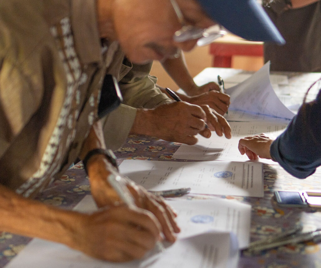
To date, applications covering 119,126-hectares across 11 villages have been submitted and are progressing through Indonesia’s legal recognition process.
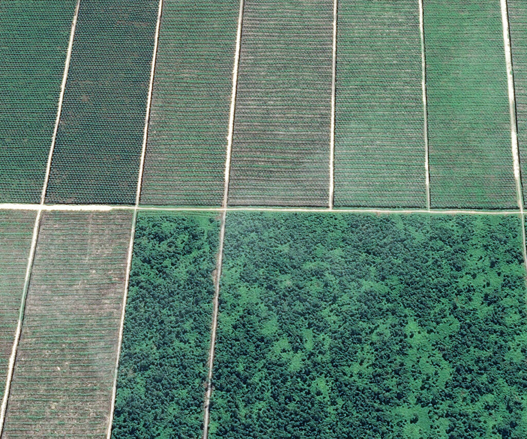
Facilitate Standardised Village-Level Land Management
Bentarum’s villages face fragmented landscapes due to overlapping land categories and management systems, making integrated planning difficult. The two with the most significant legal authority to address this issue are the six-year Medium-Term Village Development Plan (Rencana Pembangunan Jangka Menengah Desa) and the annual Village Government Work Plan (Rencana Kerja Pemerintah Desa). To guide the formation of these documents, we first develop village spatial plans (Rencana Tata Ruang Wilayah Desa). Village spatial planning provides the framework for communities to map existing land uses, agree on management priorities, and coordinate development across different land categories. These plans guide the incorporation of conservation priorities into official instruments such as the six-year Medium-Term Village Development Plan and the annual Village Government Work Plan.
We work with villagers to embed these spatial plans into the six-year Medium-Term Village Development Plan and the annual Village Government Work Plan, ensuring that conservation and sustainable development goals are reflected in the village’s official planning documents. They can subsequently be integrated into the annual village budget (dana desa) through the annual village planning deliberation meeting (Musyawarah Perencanaan Pembangunan Desa).
In Sungai Ajung, we are aligning management of 2,567.85-hectares of Hutan Adat and 3,325-hectares of Hutan Desa, while zoning other land uses and identifying key habitats for conservation of our three priority species: Abbott’s gibbon, tricolour langur, and flat-headed cat. The flat-headed cat is arguably the most poorly understood of Kalimantan’s five small cats, with fewer than 50 photos ever captured. We obtained six camera traps of flat-headed cat and saw the cat several times in Bentarum. This degree of detection is highly unusual and has attracted the attention of international conservationists, with whom we have developed a plan to reduce hunting.
Provide the Space for Villagers to Resolve Disputes
Boundary disputes and tensions over land are common where industrial concessions or national parks overlap with customary territories. In Bentarum, disagreements between Dayak Tamambaloh and Dayak Iban communities in Menua Sadap and Pulau Manak have stalled progress on Hutan Adat for decades.
We create space for communities to resolve these disputes themselves, facilitating dialogue when needed and reviving cultural principles like Ensama—brotherhood and unity. Between 2023 and 2025, these efforts led to a historic agreement and formal consent for the Hutan Adat process to proceed in both villages.
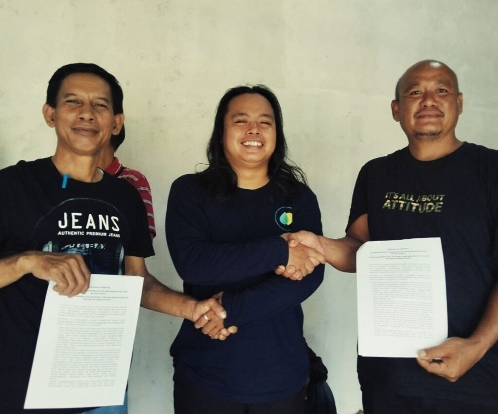
Build Corporate–Community Agreements
Concessions in Bentarum bring infrastructure and jobs but can fragment forests and create tension with local communities. We work to ensure development is as sustainable as possible by supporting compliance with regulations and facilitating dialogue between companies and villagers. These discussions can lead to Corporate Social Responsibility programmes and co-management agreements that strengthen forest governance and improve livelihoods.
We are currently engaging with concession holders and communities to identify opportunities, manage risks, and integrate concessions with areas pursuing Hutan Adat.
Advance a Multi-Stakeholder Forest Corridor
Forest connectivity in Bentarum has been fragmented by roads, farms, and concessions, creating challenges for wildlife movement. We are bringing key stakeholders together to secure a 107,765-hectare corridor linking Danau Sentarum and Betung Kerihun.
Our approach is pragmatic—enhancing connectivity across mixed land uses while supporting sustainable development. Through Hutan Adat and Hutan Desa management plans, village spatial planning, and engagement with concession holders, we aim to maintain safe passages for wildlife and reduce road impacts, ensuring the corridor works for both people and nature.
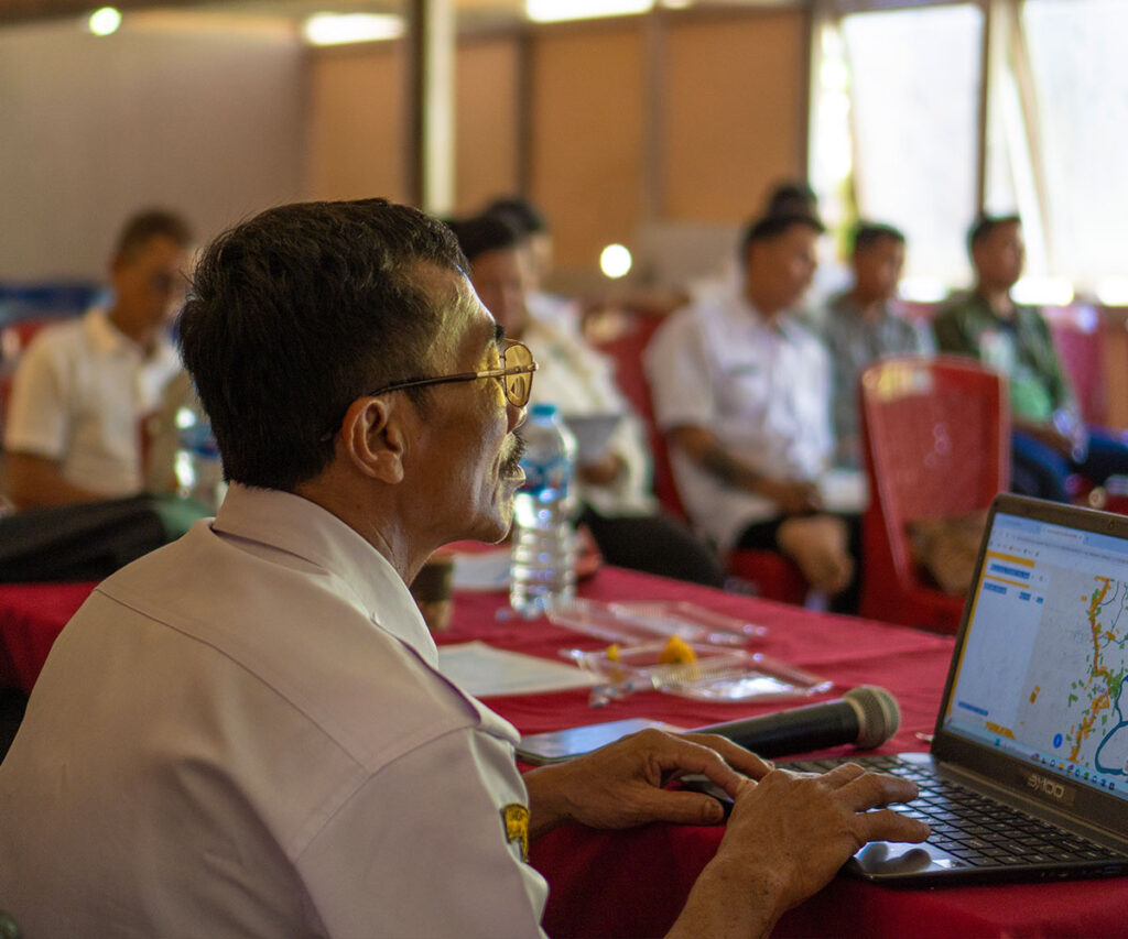
Establish Government-Led Working Groups
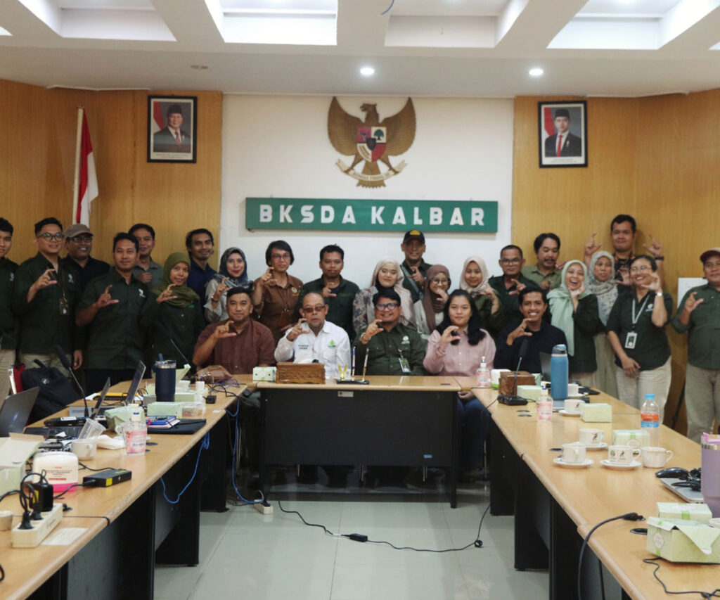
Conserving forests and species across large, multi-use landscapes requires collaboration and strong leadership. We support the creation of government-led working groups that unite stakeholders under official facilitation. In 2025, Sangga Bumi partnered with the West Kalimantan Nature Conservation Resource Agency to establish the Small Cat Working Group, focusing on species such as the flat-headed cat, Sunda clouded leopard, and marbled cat. This initiative is driving a province-wide strategy for small cat conservation, with Bentarum identified as a priority area.
Tech-Focused Landscape Monitoring
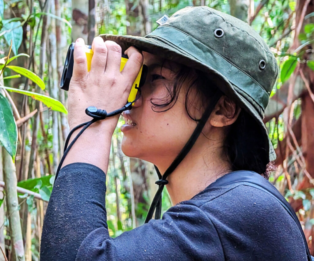
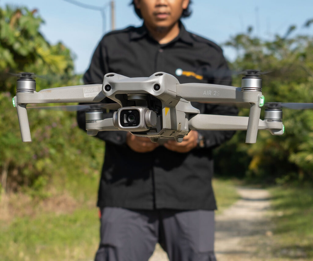
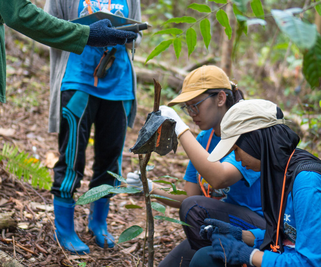
Traditional conservation models often rely on costly field patrols, despite advances in technology. We harness satellite imagery, drones, bioacoustics sensors, and camera traps to monitor forests efficiently. Through our STEM Futures internship programme, Dayak youth in Bentarum learn to track land-use change using Sentinel-2 and PlanetScope imagery, verify deforestation with drones, and collect biodiversity data via camera traps and acoustic sensors. This tech-driven approach creates real-time insights for conservation and strengthens community-led forest management.
Forest Recovery Through Tembawang, a Traditional Agroforestry Land-Use System
Degraded areas in Bentarum offer opportunities to restore forest connectivity while supporting local livelihoods. We promote Tembawang, a traditional Dayak agroforestry system that combines fruit trees, timber species, and medicinal plants on former cultivation sites. In Labian, we have established an 12-hectare tembawang with 10,000 seedlings from 58 species, including high-value trees like jengkol, rambutan, agarwood, and bitter bean—providing both ecological benefits and future economic returns.
Develop a Landscape-Wide Biodiversity Dataset
Effective land-use planning in Bentarum requires robust biodiversity data, yet much of the landscape remains data deficient. We conduct vegetation and vertebrate surveys, camera trap studies, and species-specific occupancy assessments to build a comprehensive dataset and identify high conservation value areas. Our findings include the largest known population of the Critically Endangered tricolour langur and viable densities of Abbott’s gibbon, alongside rare records of small cats such as the flat-headed cat. This data informs targeted conservation strategies and province-wide planning.