
Facilitate Standardised Village-Level Land Management
Challenge
Indonesia’s complex system of land categorisation and the different land management options available results in patchwork landscapes, with different kinds of protected areas interspersed with concessions, settlements, farms, or unprotected forests. This is the case in many of Bentarum’s villages, making integrated management challenging.
Solution
In Indonesia, there are several planning instruments that the government allocates to villages to guide development, budgeting, and land use. The two with the most significant legal authority are the six-year Medium-Term Village Development Plan (Rencana Pembangunan Jangka Menengah Desa) and the annual Village Government Work Plan (Rencana Kerja Pemerintah Desa).
These two instruments are the best mechanism to advance sustainable development at the village level. To guide the development of these documents, we first develop village spatial plans (Rencana Tata Ruang Wilayah Desa). Although not a legally binding zoning document, a village spatial plan helps communities map existing land uses, agree on management priorities, and coordinate development across different land categories.
These spatial agreements can then be incorporated into the six-year Medium-Term Village Development Plan and the annual Village Government Work Plan, ensuring that conservation and sustainable development goals are reflected in the village’s official planning documents. They can subsequently be integrated into the annual village budget (dana desa) through the annual village planning deliberation meeting (Musyawarah Perencanaan Pembangunan Desa).
See how we help villages adopt Geographic Information Systems to improve land ownership documentation and plan for the future.
Progress
Prioritising Sungai Ajung village, we are working with villagers to develop management plans for the 2,567.85-hectare Hutan Adat that is in progress and for the 3,325-hectare Hutan Desa. Despite receiving its Hutan Desa permit in 2018, the Hutan Desa Management Unit (Lembaga Desa Pengelola Hutan) in charge of managing the Hutan Desa has not yet developed a work plan (Rencana Kerja Perhutanan Sosial). These two work plans will synergise management of Sungai Ajung’s two protected areas.
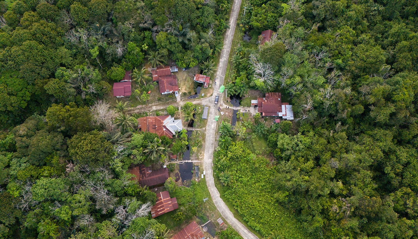
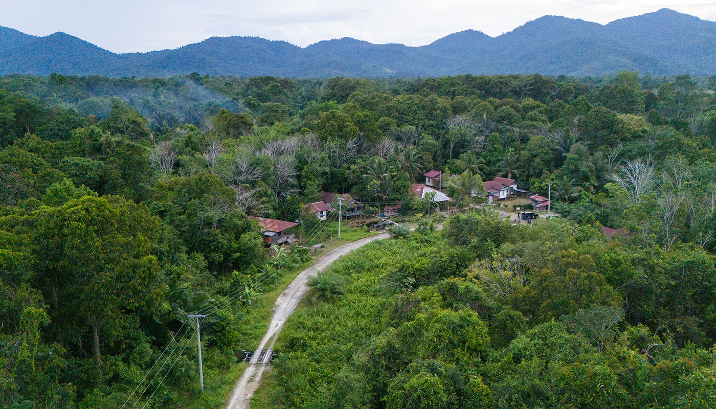
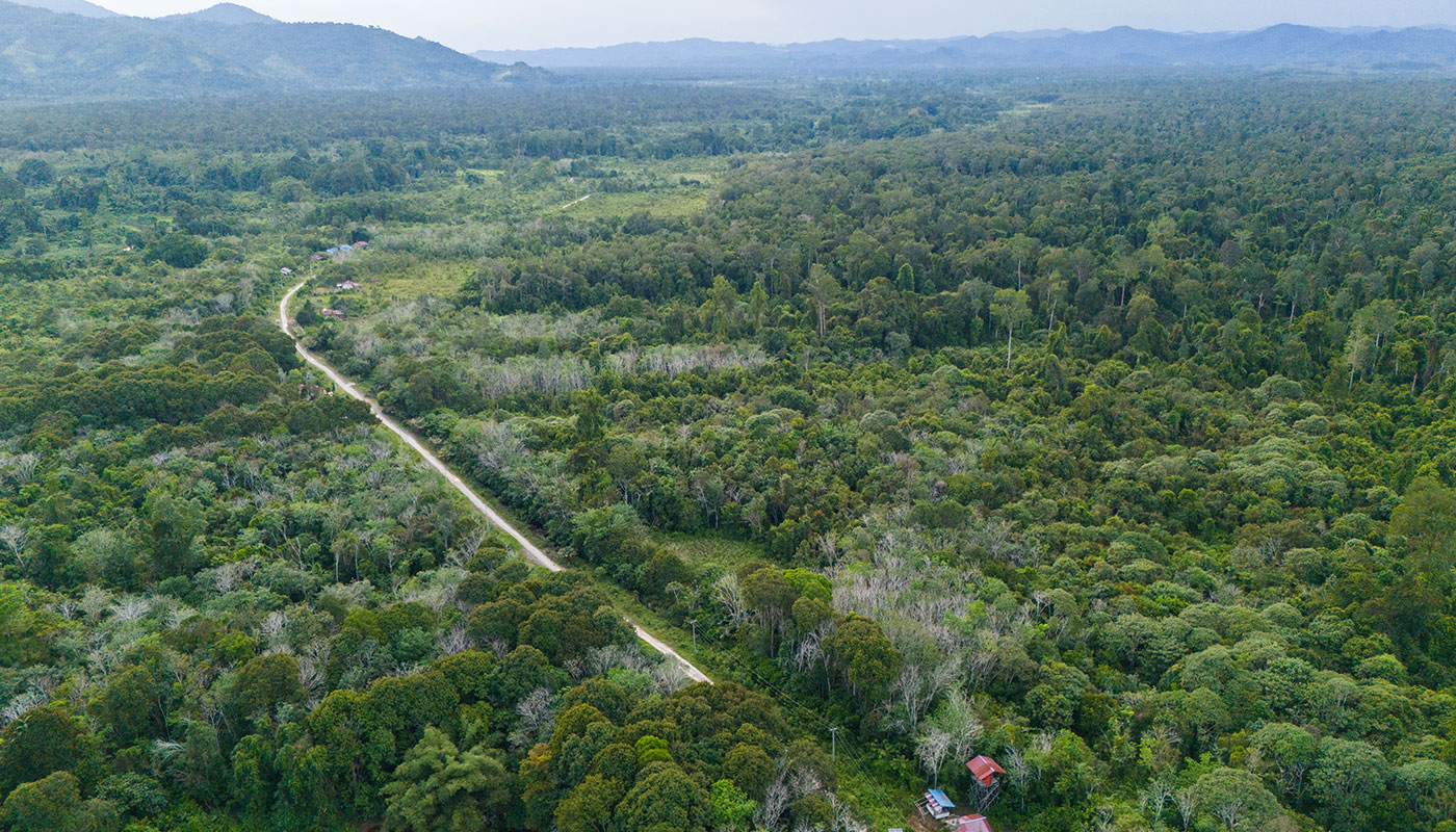
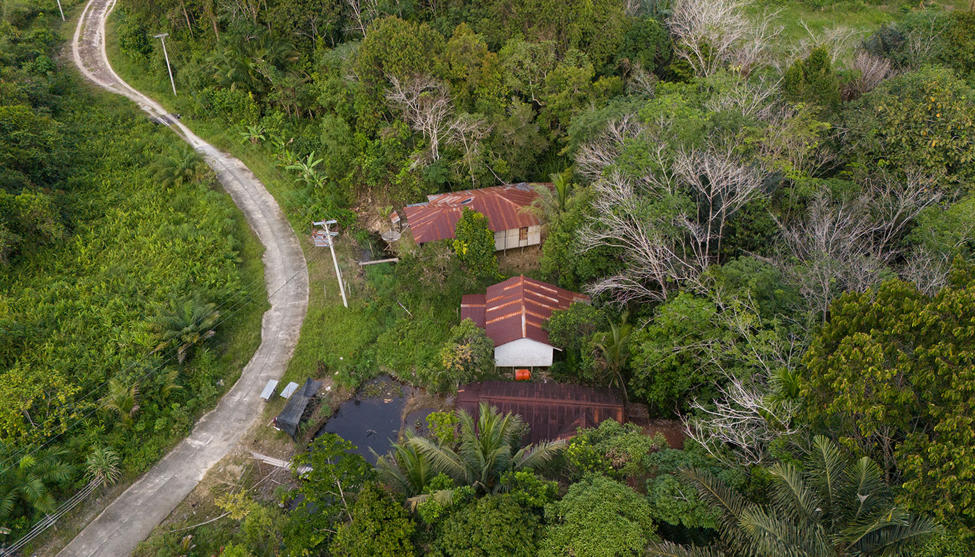
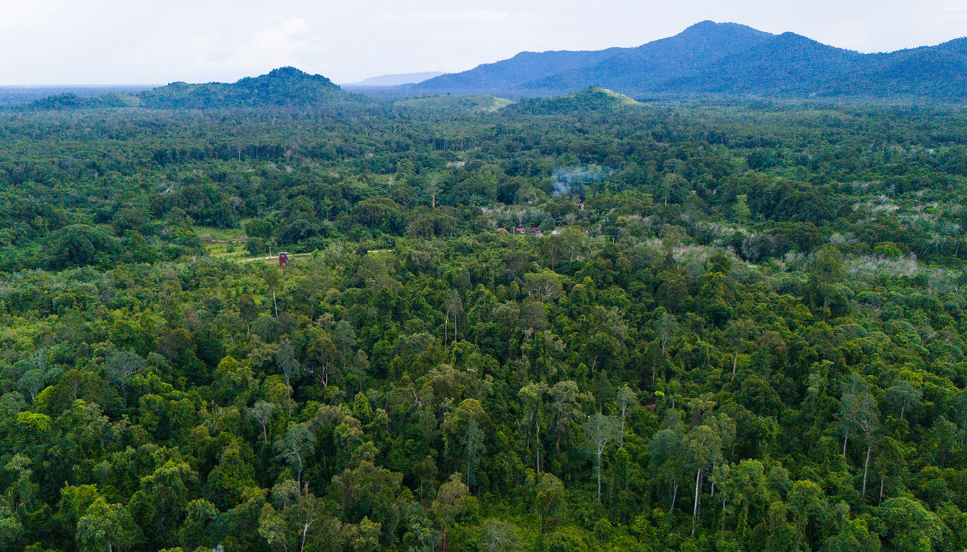
Sungai Ajung contains 786-hectares of land designated for Other Land Uses. Spatial plans for this area will zone areas suitable for settlements, agricultural expansion, buildings and other economic activities. Spatial plans also allow villagers to determine where they would consent to oil palm concessions. Although this would have no legal standing, the zoning contained in spatial plans can become the reference for Full Prior Informed Consent procedures companies should conduct before establishing concessions.
The map below visualises Sungai Ajung Village and its land dynamics:
There is roughly 11,700-hectares of forest in Sungai Ajung outside of protected areas and inside the forest estate. PT Kokoh Buana Selaras is in the process of establishing an ecosystem restoration concession over this forest. Sangga Bumi is currently working with villagers to identify key parts of this forest, in terms of both species habitat and the level of hunting. This is aiding conservation of our three priority species.
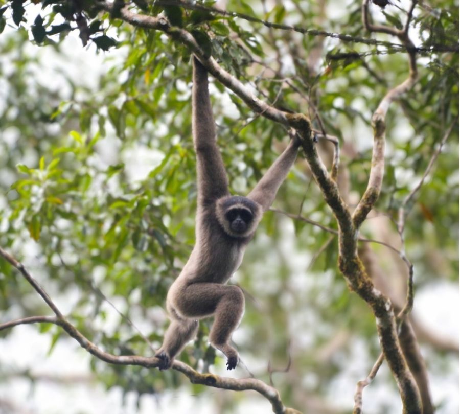
Abbott’s gibbon (Hylobates abbotti). In 2025, we placed four listening posts in freshwater swamp, mixed agriculture and undisturbed peat swamp. One of the listening posts detected gibbon calls, which we identified as the Abbott’s gibbon. The three absences is surprising as we have seen gibbons in the area and peat swamp is typically good gibbon habitat.
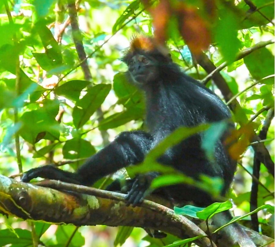
Tricolour langur (Presbytis chrysomelas cruciger). Sangga Bumi staff have photographed the tricolour langur in Sungai Ajung’s undisturbed peat swamp. We have also seen it in captive situations.
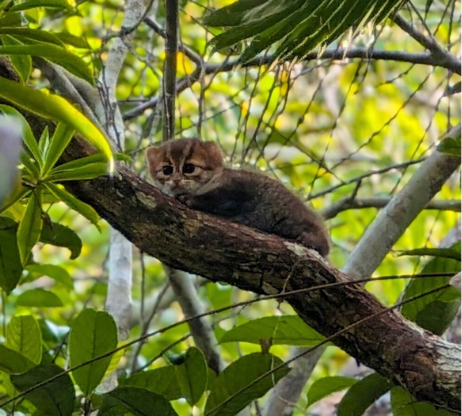
Flat-headed cat (Prionailurus planiceps). We have captured camera trap images of the flat-headed cat in peat swamp in Sungai Ajung’s north. Sangga Bumi’s field team also took photos of a flat-headed cat in an area of peat swamp outside of Sungai Ajung’s southern border. As the area between these two sightings is an uninterrupted forest block, it’s likely that flat-headed cats range throughout the area
Participatory spatial mapping is identifying where villagers see these species and where they consider to be their important habitat. Camera traps and bioacoustics sensors are being placed in these areas to confirm species occupancy and to identify sounds related to human threats (gunshots, chainsaws, traps). The identification of hotspot areas will lead to the development of species and location-specific conservation management plans. These can then be integrated with Hutan Adat and Hutan Desa management plans and Other Land Use spatial plans and embedded into annual Village Government Work Plans (Rencana Kerja Pemerintah Desa).