April, 2026
Tech-Focused Landscape Monitoring
Challenge
Social forestry management plans still often rely on traditional conservation models that are expensive and time consuming. Despite Indonesia being technologically advanced and the rapid advancements in tech-focused monitoring capabilities (satellite imagery, bioacoustics, camera traps, drones), there is still a reliance on expensive field teams and field patrolling.
Solution
Take advantage of Indonesia’s expanding network coverage and technological developments to monitor forest areas using satellites, drones, bioacoustics sensors, and camera traps.
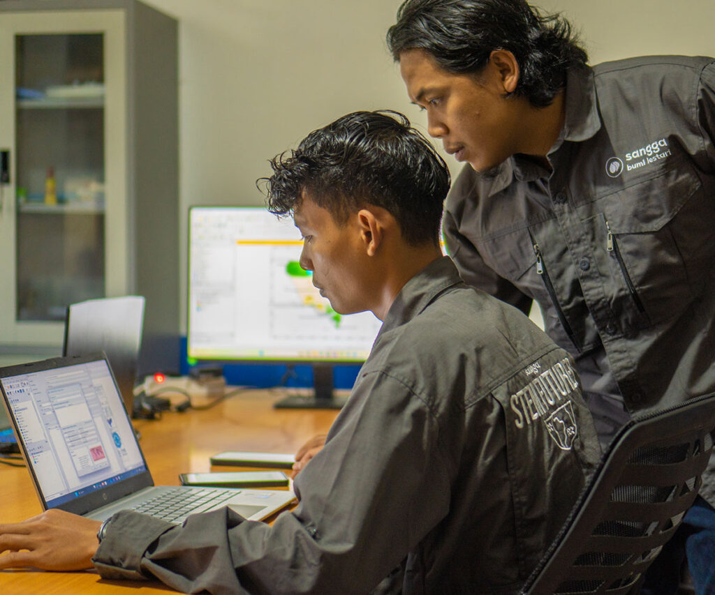
Through Sangga STEM Futures, a mentorship programme by Sangga Bumi Lestari, young people in villages are gaining the skills to protect nature using technology, as this video shares the story of its participants:
Progress
We have established an internship programme, STEM Futures, through which we teach Bentarum’s Dayak youth how to conduct tech monitoring of their forest areas. Together, we monitor land-use change bi-weekly using Sentinel-2 and PlanetScope satellite imagery, supported by publicly available Global Forest Watch Integrated Deforestation Alerts and VIIRS Fire Alerts. We verify any identified deforestation with drones, storing land-use change data in Avenza Maps. This creates a continually updated dataset of land-use change for agriculture, logging, fires, industrial plantations, and settlements.
We run biennial camera-trap grids of 30 units to track wildlife populations. The first survey in 2025 established baseline biodiversity data; the next will take place in 2027. In identified hunting hotspots, targeted camera traps and acoustic sensors document wildlife presence and human activity, providing evidence for dialogue with community leaders to curb extractive practices.