March, 2026
Sangga Farming
Transforming Agriculture and Unlocking Forest Potential
Innovating for Food Security and Sustainable Livelihoods
Transforming agriculture is about introducing climate-smart practices that address poor soil health, flooding, and market isolation, while strengthening local knowledge through practical solutions. From regenerative farming and hydroponics to digital mapping and Non-Timber Forest Product identification, these initiatives are part of Sangga Farming aimed at building resilient food systems and sustainable rural livelihoods.
Education Centre:: A Knowledge Centre for the Community
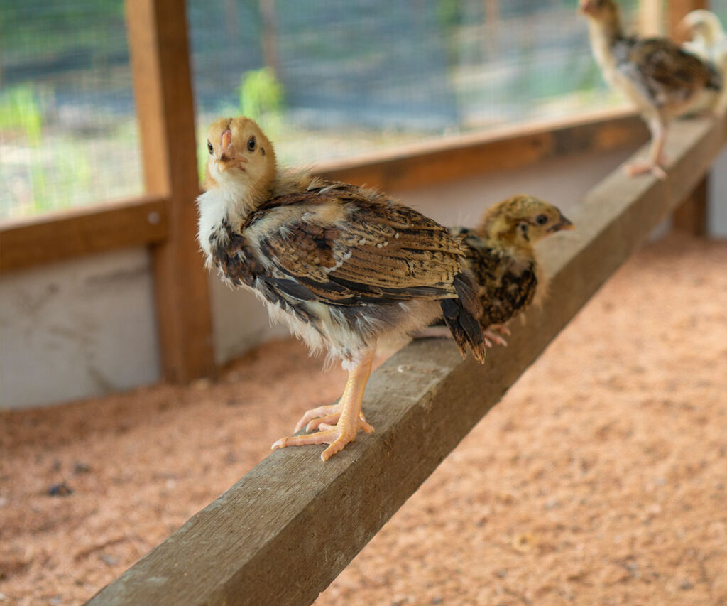
Bentarum’s residents face challenges such as low agricultural productivity, flooding, and limited understanding of corporate regulations. Education centre, located in Pulau Manak, provides a space for learning, practical solutions, and community dialogue. It features regenerative agriculture and hydroponic demonstration plots, local chicken feed trials, and a nursery with over 5,000 seedlings from 23 species.
Education centre helps residents improve food security, diversify livelihoods, and support biodiversity conservation.

Hydroponics as a Farming Solution in Rural Areas
Soil degradation and flooding make traditional farming in Bentarum increasingly unreliable. Hydroponics offers an alternative by growing plants in nutrient-rich water instead of soil, enabling cultivation in degraded areas and reducing pressure on forest edges. We have established two hydroponic demonstration plots—one at education centre in Pulau Manak and another in Setulang village—using the Nutrient Film Technique to grow leafy vegetables. These sites provide training for local farmers on modern, efficient farming methods that support food security and sustainable livelihoods.
From our demonstration plots, we have trialled selling vegetables to local market with the following prices:
- Pakchoy for 30,000 IDR/kg
- Curly mustard green for IDR 40,000/kg
- Curly lettuce for IDR 40,000/kg
Digitalise Farming Activity
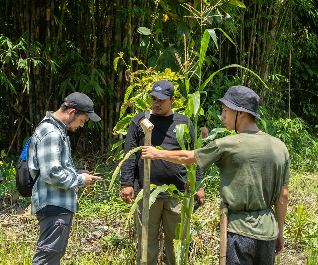
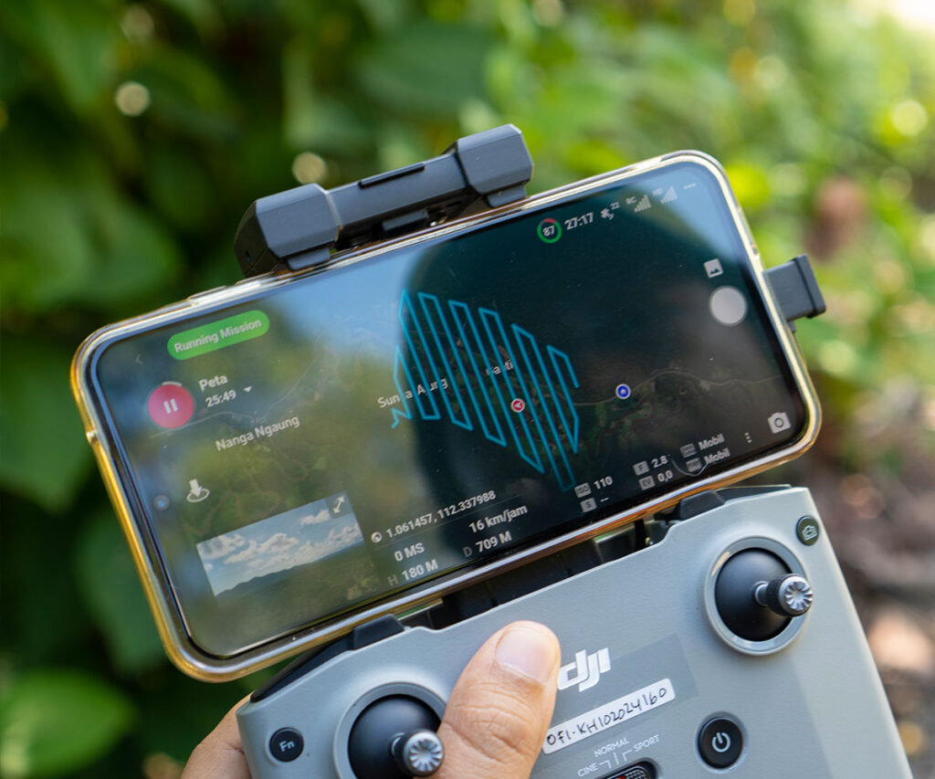
Farmers in Bentarum often rely on collectors offering low prices and limited market access. To address this, we are mapping farms using high-resolution satellite imagery and creating crop catalogues to build a digital farming database. This system will help connect farmers with buyers, improve planning, and align crop production with demand. In Nanga Ngaung, we are piloting detailed commodity mapping and soil analysis across 52 plots growing rice, corn, cocoa, and bananas.
Spatial Mapping of NTFP Potential
Non-Timber Forest Products (NTFPs) offer valuable income opportunities, yet their distribution in Bentarum is poorly documented. We work with villagers to map key species and create spatial layers showing where lucrative plants and trees grow, alongside ownership data. One example is the illipe nut from Shorea stenoptera trees. So far, we have mapped 2,466 trees across 11 villages, providing the foundation for sustainable harvesting and improved market access.